There is no better way to take the heartbeat of a city than to get out and explore on foot. However, the streets of major cities have largely become arteries for vehicular traffic and superficial facades for advertising and commerce. I have come to enjoy exploring thoroughfares across the urban landscape that cut across the road grid and offer a glimpse behind the commercial facade. One such thoroughfare in Seoul is the Cheonggyecheon.
As I noted in my previous posting on the Urban Green Spaces of Seoul, the Cheonggyecheon River is was formerly a drain covered by a freeway, which is now a beautiful rehabilitated creek and green strip running from downtown to the Jungnangcheon River and ultimately the Han River. Korea blogger Steve Miller reflects on the history of the Cheonggyecheon:
“The Cheonggyecheon runs nearly 11km along its current course. The Joseon shaped the stream to provide Seoul with ample fresh water. However, this iconic waterway was destroyed during the Korean War. While it was partially restored following Seoul’s reconstruction, it wasn’t until 2003 that the government spent nearly 4 billion won to beautify the area. In doing so, the Korean government outlined five separate themed areas along the stream’s course and planted more than 2.1 million plants and trees.”
Much of South Korea’s natural environment has been sacrificed at the altar of economic development since the Park Chung-Hee era. The Cheonggyecheon restoration represents an acknowledgement, at least implicitly, that something valuable was lost in South Korea’s otherwise successful modernisation project.

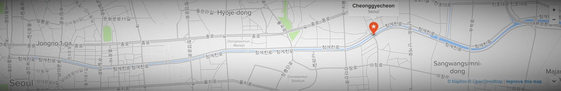
Although I’ve spent time along the Cheonggyecheon many times in previous visits to Seoul, on this trip I decided to walk its length. Just as the stream changes along its path, so too does the urban environment surrounding it as its course runs from downtown near Gwanghwamun to Dongdaemun, then veering south at Sindap before joining the Jungnangcheon. It is now a functioning green corridor with mature ecosystems in which you’ll find a diversity of plants, bird life, insects, and fish in the stream. It is a recreational corridor used by people for walking, cycling (in the lower sections), cooling off in the summer, ambient retreat from the busy city streets, and as a general social meeting place.
This photo essay documents my latest stroll down the Cheonggyecheon, which I thoroughly recommend to anyone interested in feeling the heartbeat of living urban Seoul.


—

This work is licensed under a Creative Commons Attribution-NonCommercial-NoDerivatives 4.0 International License.

[…] Cheonggyecheon River, Seoul (Photo: Ben Habib) […]
[…] and its general livability. The most well-known example of Seoul’s recent urban greening is the Cheonggyecheon River is was formerly a drain covered by a freeway, which is now a beautiful rehabilitated creek and […]
[…] and its general livability. The best-known example of Seoul’s recent urban greening is the Cheonggyecheon River. Formerly a drain-covered by a freeway, it is now a beautiful rehabilitated creek and green strip […]
[…] 4: Old freeway pillars on the Cheonggyecheon in Seoul, South Korea. Example of two different development paradigms exhibited in the physical history of a […]